PHOTOGRAPHY about EnvironmentGovernanceIndigenousposted on Mai 29, 2013 by Joseph Jones
Rising Tide Building Resistance Tour Photo Diary – Part II
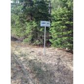
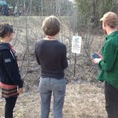
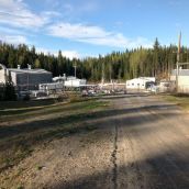
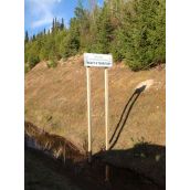
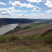
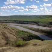
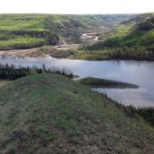
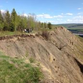
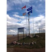
Summit Lake (photos 1-4)
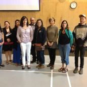
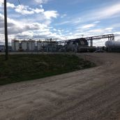
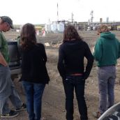
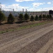
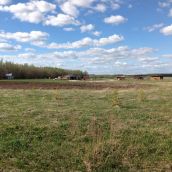
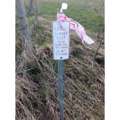
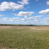
Heading north from Prince George, the tour took a good look at the Summit Lake area. The Pacific Trails Pipeline seeks to connect Summit Lake at the eastern end with Kitimat at the western end. Plants there would liquefy pipelined natural gas and transfer it to tanker ships for export. A short distance along a gravel road, east of Highway 97, we found a Spectra Energy compressor station, of a size so large that the entire facility would not fit into a single photograph. Back on the road, almost immediately appeared a sign marking the boundary of Treaty 8 territory. The conjunction is striking: where treaty territory stops, so does this massive infrastructure that stretches eastward into Alberta.
East of the Rockies (photos 5-8)
With Dawson Creek as a base, we backtracked to visit the office of Saulteau First Nations in Chetwynd. We sat in on a consultant's presentation on water use issues. The community's top priority is to establish its own watershed plan. Much effort goes into protecting a portion of their lands which they describe as an Area of Critical Community Interest. An apparently friendly and responsible energy source like windmills would still have the impact of driving away the wildlife that they depend on for food. Within the treaty framework, three staff face sorting through a continual flood of paperwork. Typically, thirty days are provided for comment to proposals, and silence is taken as consent. To add to the difficulties, officials require documentation of the treaty-protected traditional uses of their people's own territory. Simply using their land is not enough; it has to be shown to be used.
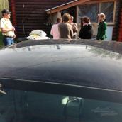
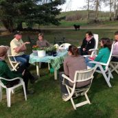
That same afternoon, closer to Dawson Creek, we visited with a multigenerational family that lives on a quarter-section of land. Their water well goes to a depth of 350 feet, and has been in use for about 18 years. Other people in the area used to come for water that was known for its good quality. Since recent fracking took place on neighboring property, the water has become undrinkable and is said to kill plants. The first thing they showed us was washing damage to the finish of their automobile. A water assessment by the fracker has led so far only to delay in reportback. Independent assessment would cost $300 for a basic and relatively useless analysis, and $1000 for more detailed analysis — money that they cannot afford. There is fear that lack of a previous baseline analysis will allow the fracker to claim that no change in water quality has occurred. In winter their well is the source for what livestock drink. This means that city dwellers who eat their beef eventually will be consuming any frack compounds that accumulate in the animals.
Fort St. John and Site C Dam (photos 9-13)
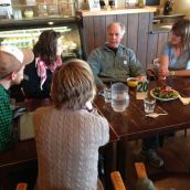
We began our visit to Fort St. John by talking to two people active with Peace Valley Environmental Association. They paralleled the Saulteau First Nations in wanting a management plan, in this instance one for the Peace River Valley. In northern BC, lack of planning keeps the frontier open for rapacious resource extraction. The valley is said to support two-thirds of area wildlife, and has an agricultural capacity to feed northern BC directly. The climate within the valley makes it possible to grow cherries, and naturally hosts a cactus whose next home to the south is Kamloops.
Then we drove up the valley to a viewpoint that allowed for a long look upstream of the area proposed for flooding. Later that afternoon we visited the family that owns a quarter-section of land, in two separate pieces that follow the north bank of the river just above the proposed location for the Site C dam. The husband is second-generation on the land, having grown up with a dairy operation that discontinued a dozen years ago due to workload and succession issues. They are one of 35 families considered "affected" — but are not the one family "significantly affected" by potentially having all of their land put underwater.
Over the years BC Hydro has acquired about 80% of the land that might be flooded. This enables Site C Dam proponents to disparage the agricultural potential by pointing to low-use leaseholders who grow "only hay." It seems clear that the locality is not even geologically suited to damming. Erodible banks would wash into the basin and fill it with soil. The underlying material is shale, the same unstable material that is fractured for natural gas extraction.
Dawson Creek and Fracking (photos 14-22)
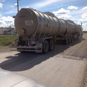
The son of a homesteader finished his shift driving a concrete delivery truck and then gave us a long afternoon tour of Dawson Creek area facilities related to resource extraction. We started off at an oilfield waste management facility. Drilling produces fluids and solids that have to be processed, and this is a place where they go. See the big truck going in. From direct experience our guide knows that a serious and deliberately overlooked hazard is posed by the natural radioactivity of drilled materials. Those who profit from the drilling and the trucking have every interest in seeing this problem kept under wraps.
The adjunct business of trucking can be a lucrative incentive to seek to locate drilling activity on one's own farmland. That opportunity couples with a related fatalism: "If I don't let them drill, they'll go right across the road from me, and I'll still suffer the impacts."
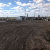
Next we visited a "super" compressor site that bristled with signs warning about dangers of any exposure to hydrogen sulfide, should the high pressure transmission pipelines rupture. From there we went on to a "normal" compressor station, one that plagues our guide's nearby family property by emitting constant low-frequency noise. When our guide's wife complained to the Oil and Gas Commission, they just told the recent new mother that her hormones were out of whack. Because the decibels allowed to the compression operation are averaged, noise spiking is permissible.
Local fracking has not yet produced observable impacts on groundwater in the area, apparently because the fracking is deep, and ordinary water usage relies on the surface supply of dugouts and cisterns. Even so, increased industrial activity has led to development of additional roadway along an allowance that was not expected to be used. Trucks travelling at well over twice permitted speed have threatened the safety of children who live in the area. Besides that, their use of noisy "jake brakes" give the children nightmares about monsters.
Our guide participates in a local effort to restore habitat for ducks. "Ponds used to flood every spring and now we can't fill them up."
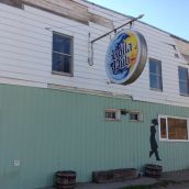
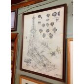
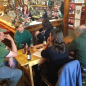
We ended the afternoon at the locally famous Rolla Pub. Among the many decorative items covering the walls was a diagram for early oil well drilling in the region. You know you have come to an everybody-knows-everybody region when you just happen to meet up again with the consultant you heard presenting day before yesterday near Chetwynd.
The site for the Vancouver local of The Media Co-op has been archived and will no longer be updated. Please visit the main Media Co-op website to learn more about the organization.
